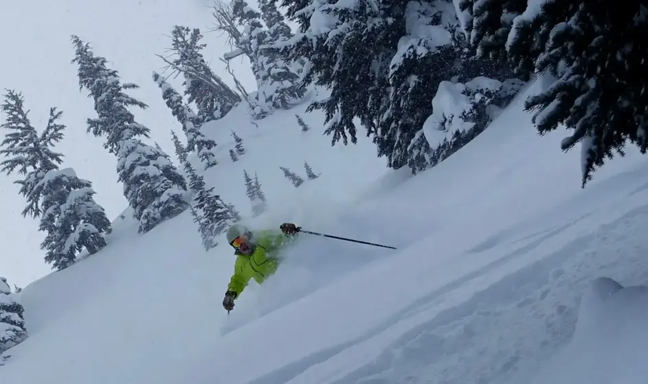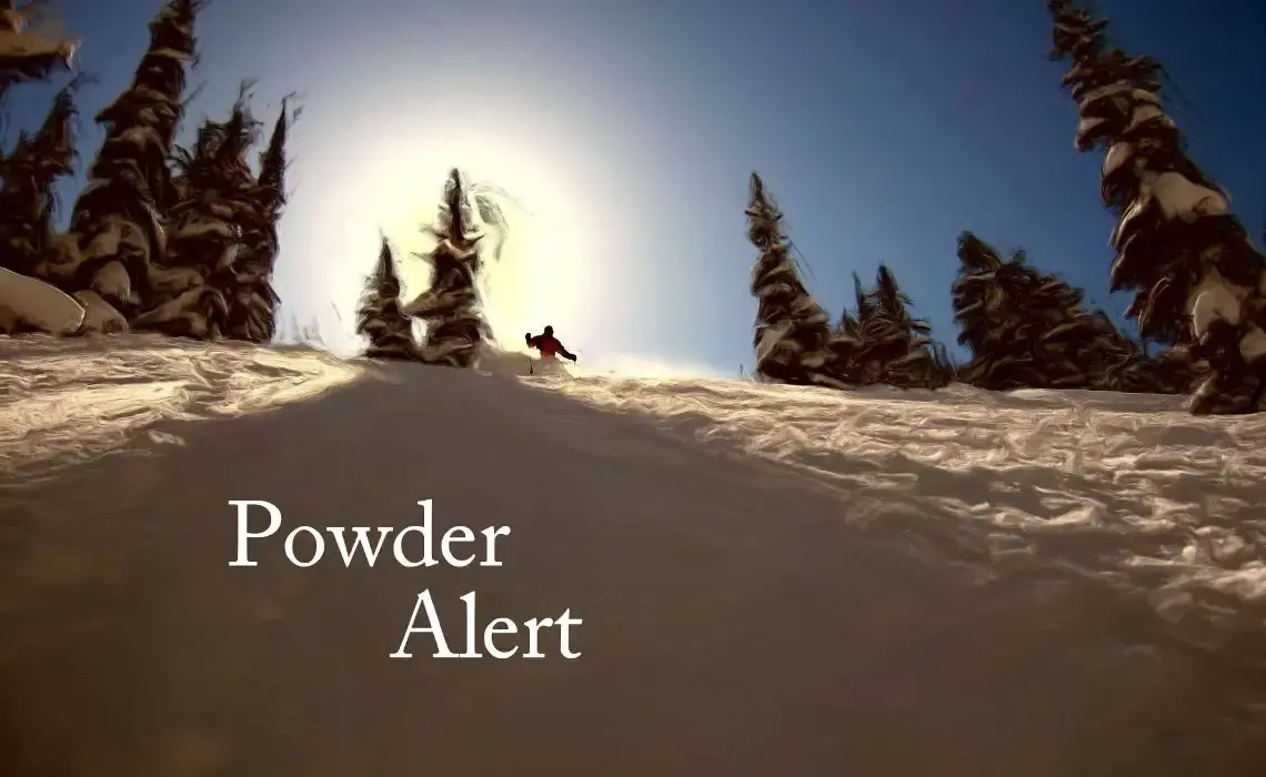


Hello Skiers
We are returning to a more normal weather pattern, after the heat wave of sorts, during the last few days. The warmth was caused by high-pressure, combining with the downslope, offshore flow to warm the air. Now the flow has turned onshore with cooler weather and more clouds.
Although we saw snowmelt in lower elevations from the warmth, it wasnt significant. The ski area snowpack is near normal and will last through April with ease. The typical thin spots will start to show up on the well-traveled runs by mid to late April, but nothing alarming. We have a lot of good spring skiing to go.
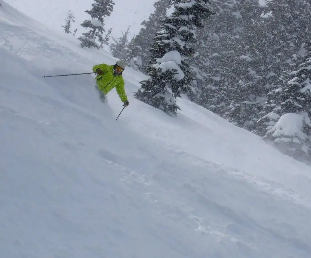
After increasing clouds on Friday, a weak system will move in late in the day with a 5,000 feet snow level, producing a rain-snow mix on the lower slopes by Friday night. However, the snow level will drop to 3,500 ft by Saturday morning, improving the snow conditions. The problem is there wont be very much new snow Friday night into Saturday morning from this very weak system - maybe a trace to 2.
Expect more sunshine on Sunday and maybe early Monday, with a chance of snow by Monday night into Tuesday.
Your Grand Poobah of Powder
Larry Schick meteorologist
We are returning to a more normal weather pattern, after the heat wave of sorts, during the last few days. The warmth was caused by high-pressure, combining with the downslope, offshore flow to warm the air. Now the flow has turned onshore with cooler weather and more clouds.
Although we saw snowmelt in lower elevations from the warmth, it wasnt significant. The ski area snowpack is near normal and will last through April with ease. The typical thin spots will start to show up on the well-traveled runs by mid to late April, but nothing alarming. We have a lot of good spring skiing to go.
After increasing clouds on Friday, a weak system will move in late in the day with a 5,000 feet snow level, producing a rain-snow mix on the lower slopes by Friday night. However, the snow level will drop to 3,500 ft by Saturday morning, improving the snow conditions. The problem is there wont be very much new snow Friday night into Saturday morning from this very weak system - maybe a trace to 2.
Expect more sunshine on Sunday and maybe early Monday, with a chance of snow by Monday night into Tuesday.
Your Grand Poobah of Powder
Larry Schick meteorologist