


Snow level is high early today (5,000-7,000 ft) - but is coming down by later today and tonight. It has been a rain or a rain / snow mix on the slopes early this Monday. Now the snow levels are starting to come down, from the north to the south, as a front moves through. The transition will mean snow returning to all the ski slopes by late tonight.
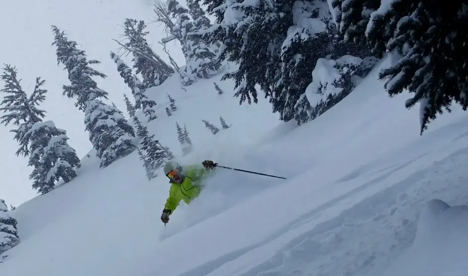
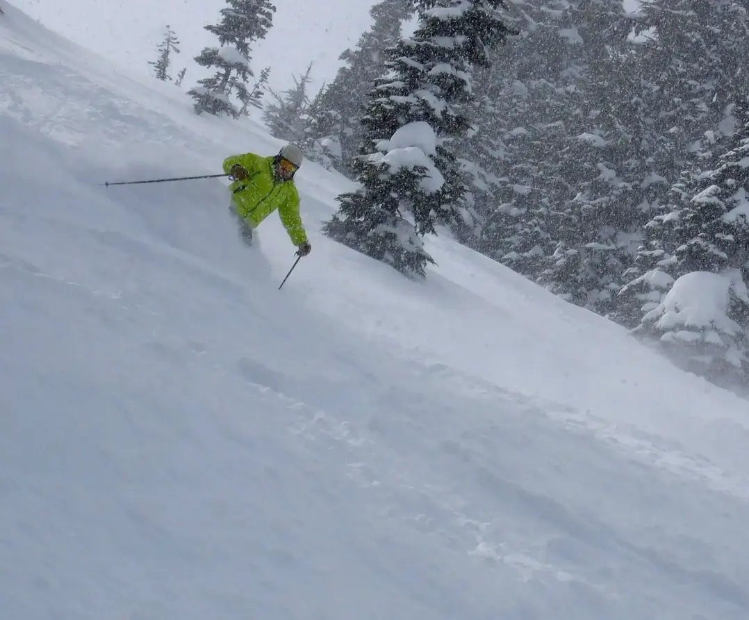
However, after the front moves through expect the snowfall to taper a little, but not totally. That said, Tuesday is a powder day with 5-13 of new, with a 2,000 ft snow level, which means much improved quality from today. A Convergence Zone, with heavy snowfall is possible, and may help Stevens and the Summit. The heaviest snowfall will favor the north Cascades. Expect another 2- 5 plus during the day on Tuesday. There will be more light snow and a low snow level on Wednesday (SL 1,500), so expect another fine day with groomers and off piste remaining with good to excellent conditions. plus more fresh snow and excellent new powder combined with leftovers from Tuesday.
Thursday the snow level rises with a rain snow mix on the lower slopes and snow above. It gets a little grabby later Thursday into Friday (SL 4,000-5,500). The snow level may remain moderate over the weekend, but the additional snow/rain will be minor, yet annoying. There is uncertainty right now regarding the weekend forecast as it could go completely dry. There will be updates later this week.
larry schick - meteorologist in charge -- El Grande Poobah of dah Powda