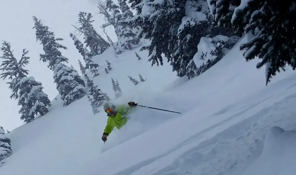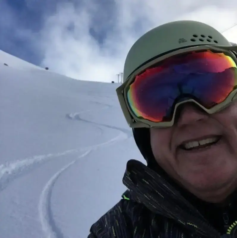


Flakes are flying and snow bases are beginning to build. Snowfall is in progress: Whistler through the Cascades. Greatest amounts in next 24 hrs are White Pass to Bachelor (5-15). Even the Summit at 3,000 feet has new snow this Thursday morning. Generally, we need 3-5 feet to open, depending on how it comes in. Partial ski area openings are sometimes seen with snowmaking and natural snow, by sometime later in November in fact, I would bet on it. We are on our way.
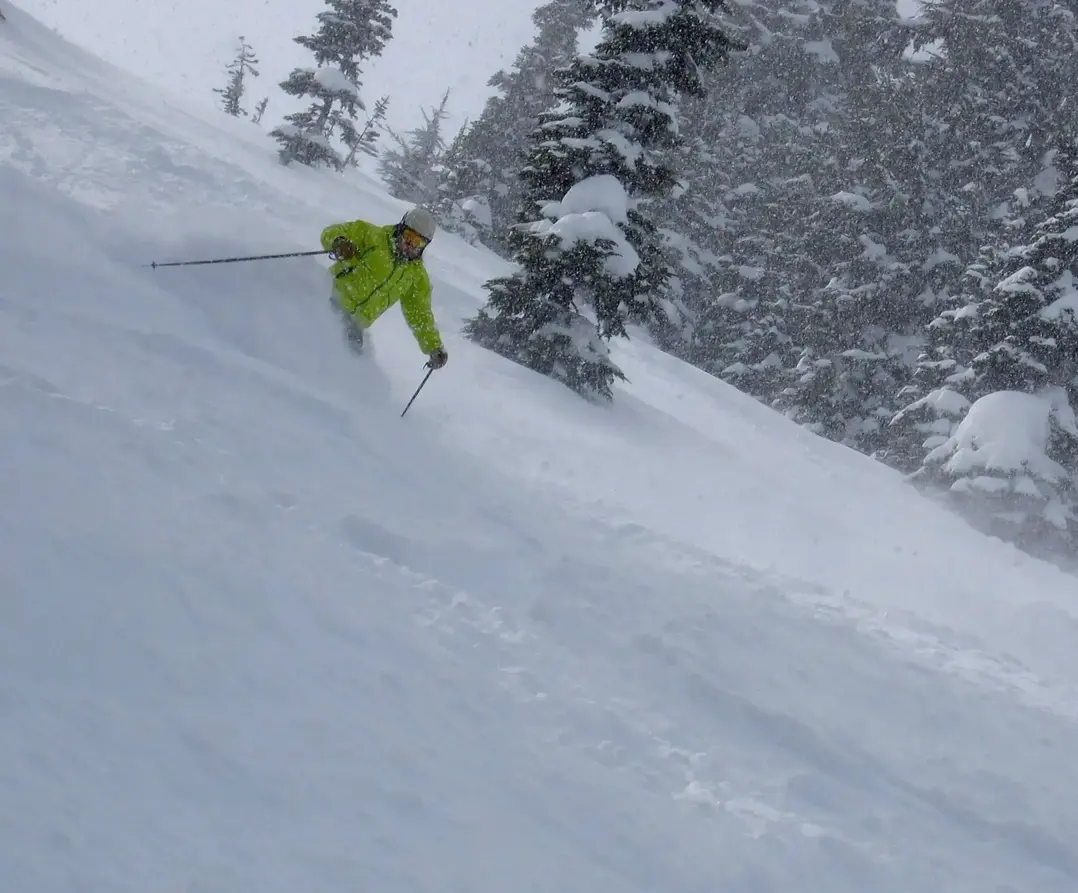
I think well see a pause, by tomorrow and the weekend. Then, I am very optimistic about a robust snow storm cycle which begins the middle the next week (18th) and continues for about a week (25th ?). This snowcycle had potential to form a significant natural snow base, with several feet of snow in places.
Long Range Winter Forecast
La Nina is forecast for this upcoming winter for the Pacific NW. That means above normal precipitation (lowland rain/ Cascade snow). Its not a guarantee, but it is darn close. In the past, we (the Pac NW) have always had near to above normal snowpack during La Nina so get ready. Big snows and La Nina go hand in hand in the NW - that is a fact and not flake news.
I am leaning toward an early start to the ski season, based on La Nina, current trends (no sustained blocking ridges of high pressure) and the tendencies of the models. We dont know how the snowfall will play out it will be somewhat consistent with typical snow levels, but new and deep snowfall tends to be more frequent early in the season.
We cannot rule out a warm Pineapple Express (atmospheric river storm) which can ruin the fun for a day or two but remember right after the AR, the snow level can drop dramatically and create awesome powder days. BTW- ARs do not melt the snow pack in any significant way, but ARs do consolidate the snowpack making the bases solid for the new snow which falls on top. Some of my best powder days are post AR.
Larry Schick
Meteorologist Open Snow NW