Hi Skiers,
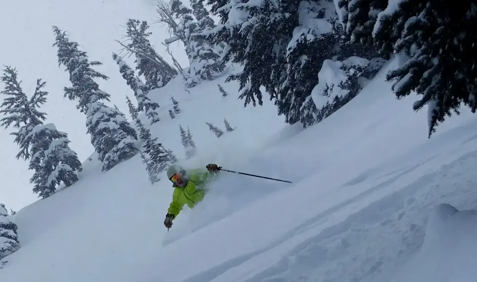
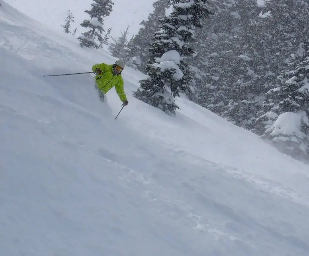
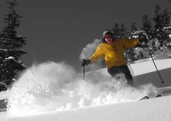
Hope you were able to break away this week, as Tuesday and Wednesday were wonderful powder days. Today, early Thursday, is also very good.
Unfortunately, there is a warm front moving in this afternoon and tonight. The snow level will be 2,500 ft today (with 1-3 new) rising to 5,000 by late tonight. There will be new snow on the upper slopes, but lower slopes will see a rain/snow mix on Friday through the weekend. The mild air will linger until next Tuesday with the snow level between 4,000 ft and 6,500 ft.
There is a high pressure offshore, with weather systems rotating around and onto the east side of the high, then aimed into the Pacific NW. This is a mild pattern; with moderate snow levels and a rain/snow mix (mainly lower slopes). If any of the systems linger, it could create a continuous moderate or heavy rain/snow mix.
There may be short dry periods Friday and Saturday. Sunday looks the wettest. Again, there is uncertainty as to the duration/timing of precipitation. I have high confidence in the mild air sticking around with a rain/snow mix.That means it may be a bit grabby at times when making your turns. Be sure and dress for the periodic wet snow pattern as these systems are difficult to time and are disorganized. There will be occasional fog and visibility limitations with this pattern too.
By the middle of next week, the offshore high-pressure area grows larger and moves toward the NW. This will produce a dry weather pattern for the NW, completely blocking storms. That will mean more sunshine, with great groomers, considering the recent plentiful snowfall coverage. You may feel a hint of spring in the air with the longer days, next week.
Whistler: similar pattern, but snow levels a bit lower, with a snow/rain mix Village to about halfway to mid station. All snow in the Alpine.
Larry Schick
Your Grand Poobah of Powder
Meteorologist


