|
Short Term Discussion
Hello skiers and snowboarders,
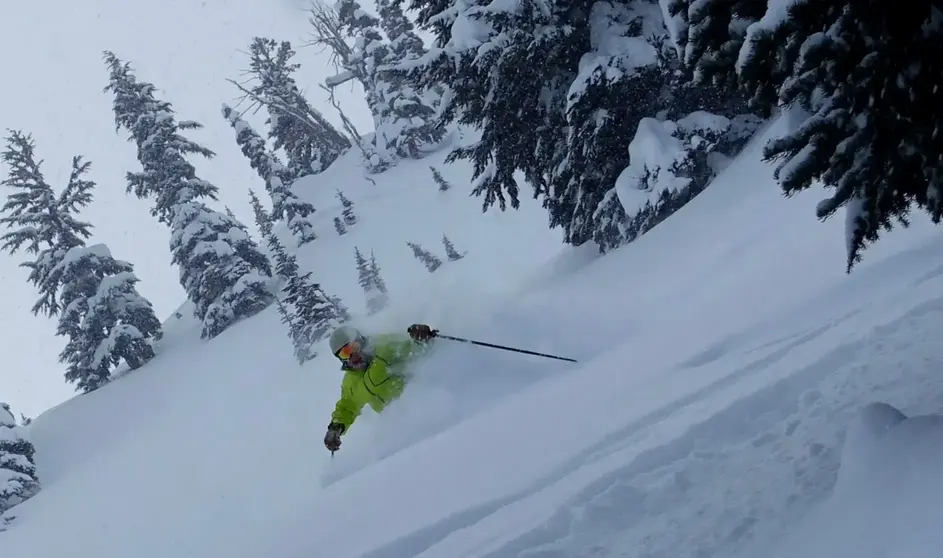
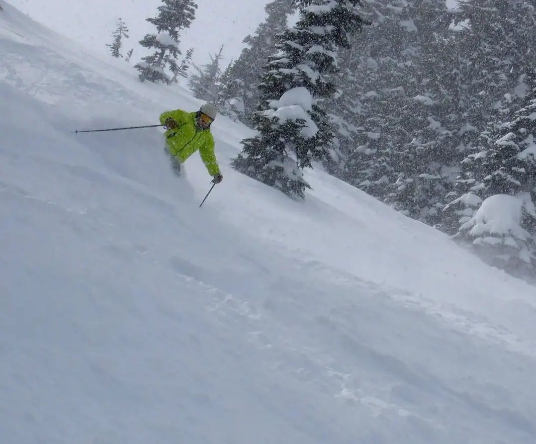
A strong upper level ridge of high pressure will be in place for Friday and much of Saturday. This is shown in the map below, which is for late Friday. This will bring sunny and mild conditions on Friday. Thus, Friday will bring excellent spring conditions with plenty of sun on the slopes at Mt Baker and Crystal Mountain. We will have some gusty winds at times of 20 to 25 at exposed ridges on Friday and also for early Saturday.
Saturday, especially early in the day, will continue with mostly sunny conditions. Then increasing clouds for the day and chances of rain most likely after 4/5 pm.
Sunday a cold front moves into the area bringing snow for the mid and upper slopes. Perhaps up to 4".
Monday will bring some lingering light snow showers early in the day with less than 1" for mid slopes. Then sunny later in the day.
Tuesday and Wednesday will have mild and dry conditions, shown on the graph below for Stampede Pass. The Pass is at 4000' just east of Snoqualmie Pass.
EXTENDED OUTLOOK- Check it out below
|